DATA COLLECTION
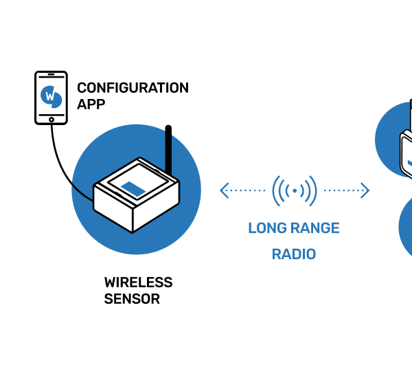
The LaserTilt90 collects and wirelessly transmits data to a gateway at your chosen sampling rate.

The LaserTilt90 can be used to measure and monitor settlement from a reference point or to infer vertical settlement at the tunnel crown, tunnel and mining convergence, bearing and expansion joint movements, displacement in structures and buildings, deformations in underground excavations, slope movements, fracture and faults surveillance.
DOWNLOAD DATASHEETWorldsensing edge device
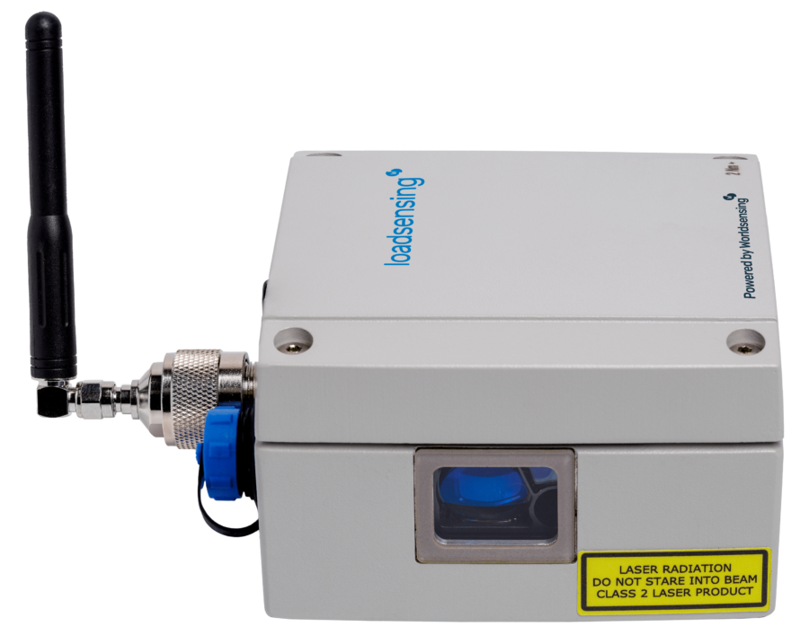
A wireless laser distance meter, inclinometer and data logger
HOW IT WORKS
Simplify your projects through remote, automated monitoring.
Datasheet - LaserTilt90
The change of temperature and weather conditions of the deployment can affect the measurements of the laser distance meter wireless sensor. However, temperature influences are considered on the accuracy of the sensor according to reading conditions. See the datasheet for more details.
The weather conditions of the deployment can affect the measurements of the laser distance meter wireless sensor. However, the resulting measurements comply with the accuracy of the sensor according to reading conditions. See the datasheet for more details.
In addition, signal strength may vary due to the luminosity descension.
When the laser gets out of the target, the signal strength will fall immediately and it will show a variation of the distance measured. The combination of both parameters will be key to detect it.
When pointing to an irregular surface, the edges will hold different signal strength and distance measure will be the one that holds more power (the biggest irregularity).
Our newsletter will keep you up to date on everything related to Worldsensing, civil infrastructure resilience and IoT remote monitoring.
Please select one or all industries you are interested in.